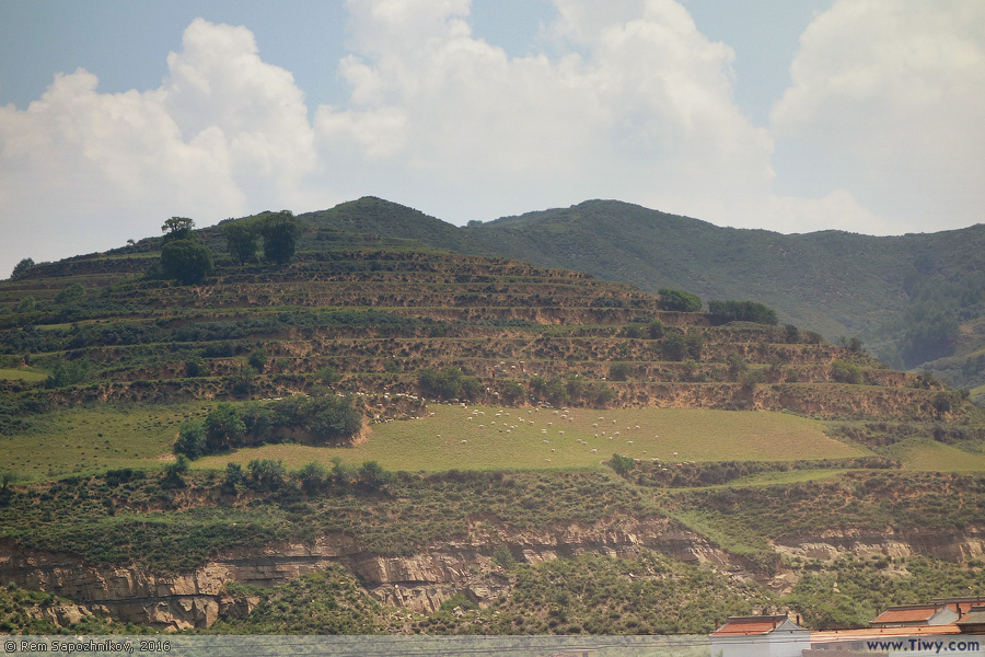
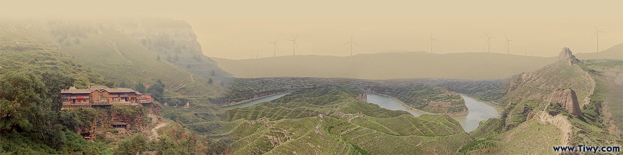
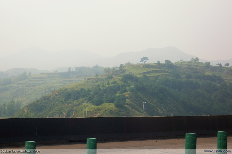
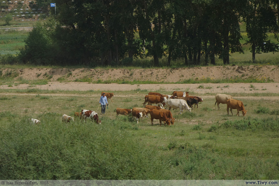
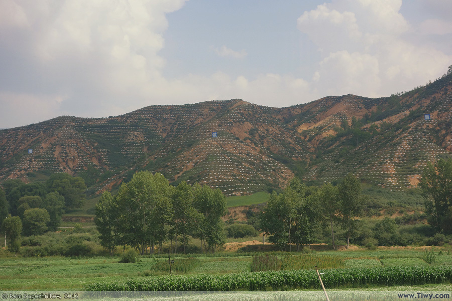
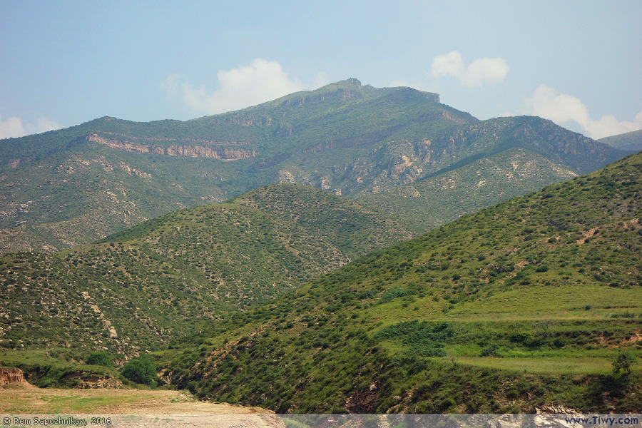
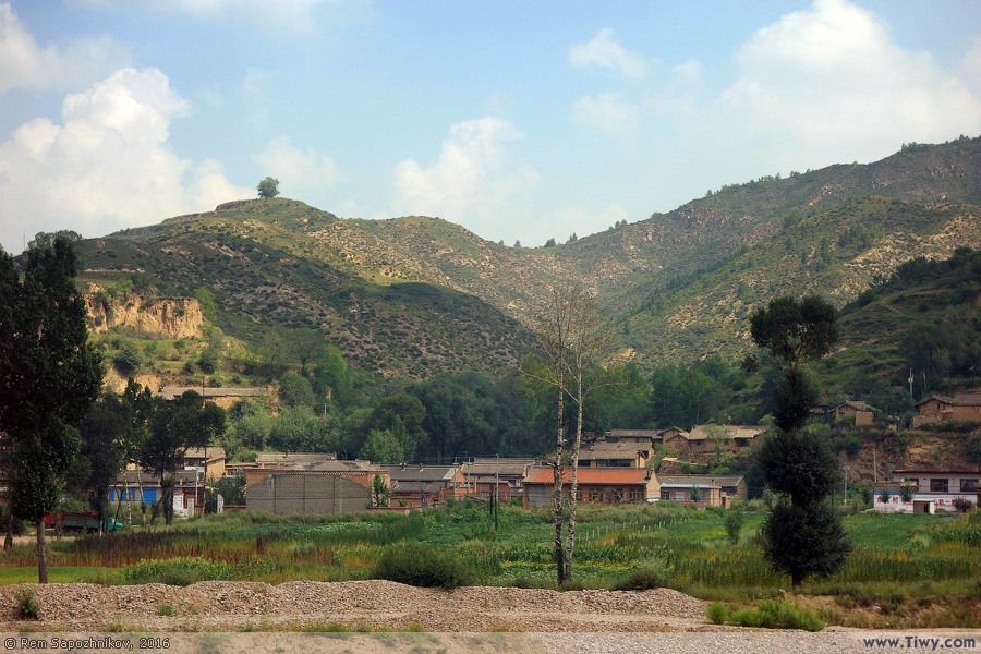
Photo-sketchings on the way to Luyashan

Rem Sapozhnikov / August 2016
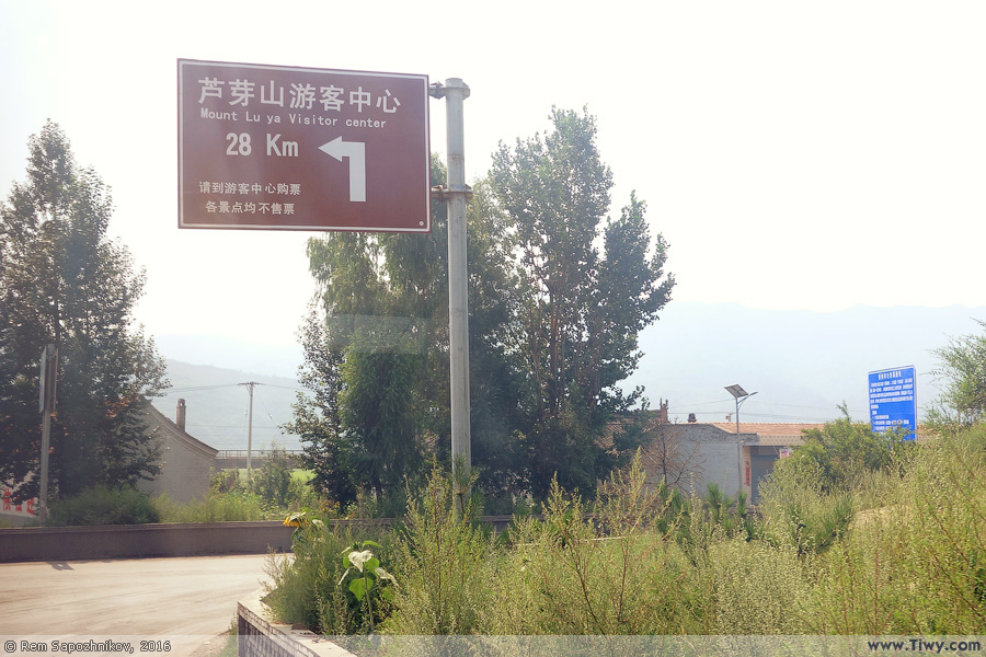
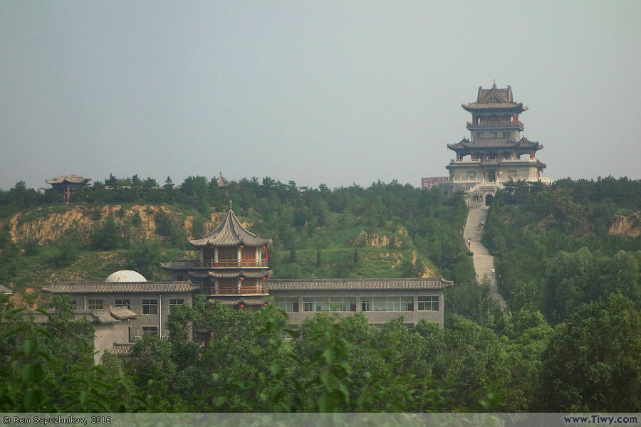
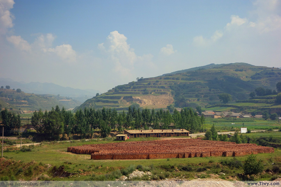
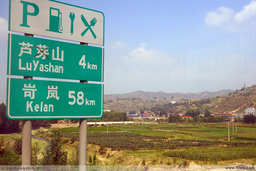
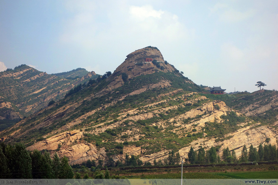
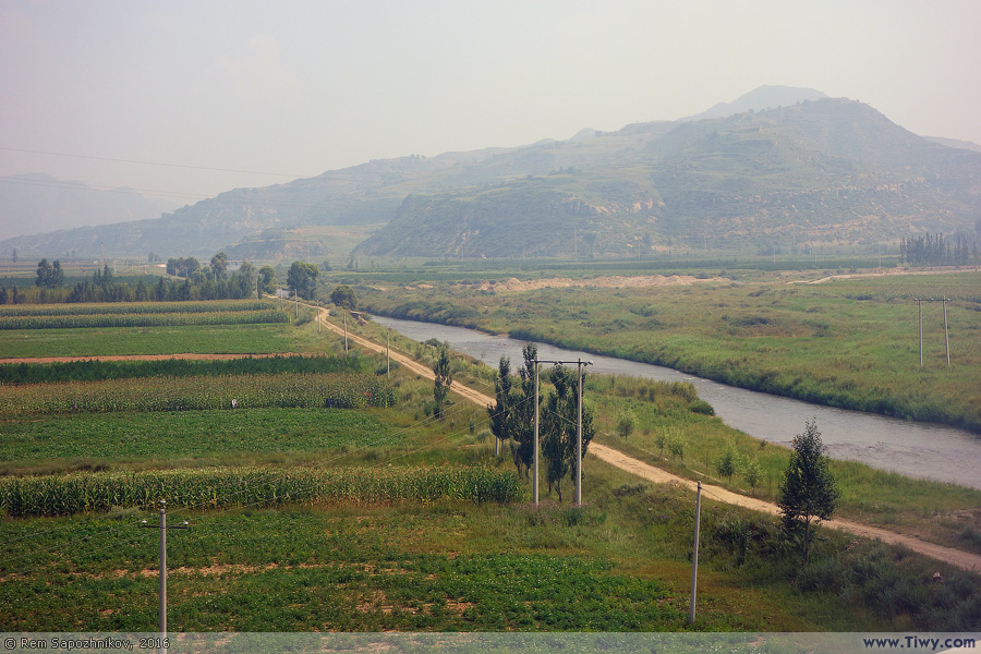
At 7:50 a.m. we left the Wanshi Hotel and headed to the Luyashan Mountain – the first destination point on our route. The distance of 188 km, with two stops, we did in less than 4 hours.

Our tour bus on which we traveled every day.
The usual landscape of modern China – high transport overpasses.
Yangqu Park, located 20 km North-East of Taiyuan.
Entering the toll road. Thanks to these roads, you can quickly travel through the province by car.
The Taiyuan Satellite Launch Center is situated in Kelan County.
Often toll roads are referred to after the first hieroglyph of the settlements they connect.

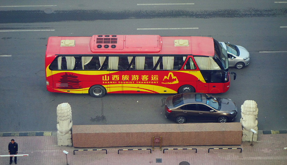
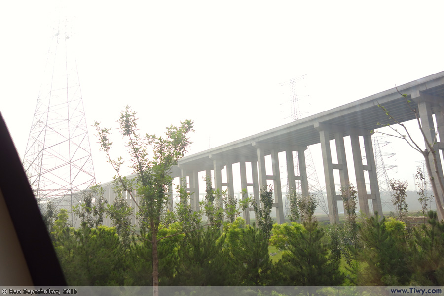
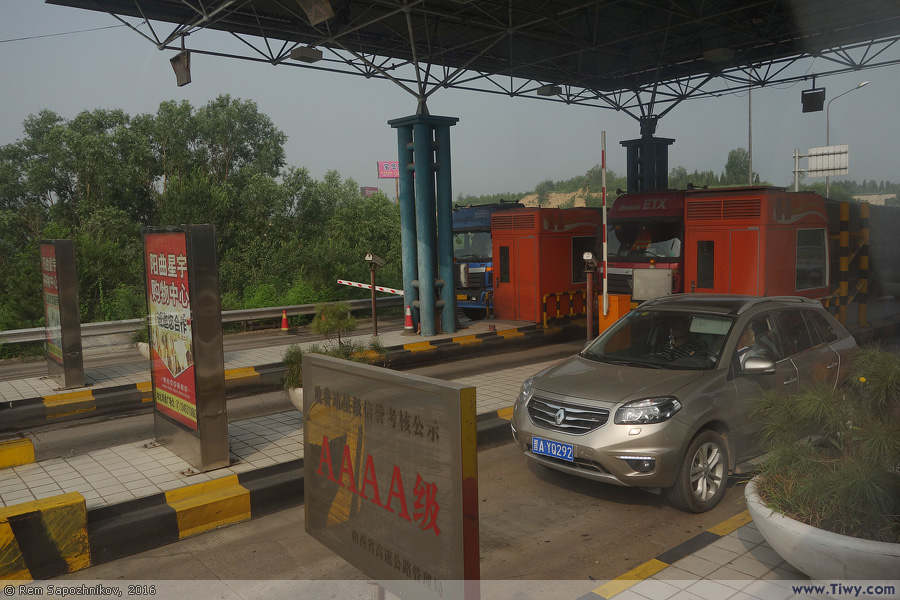
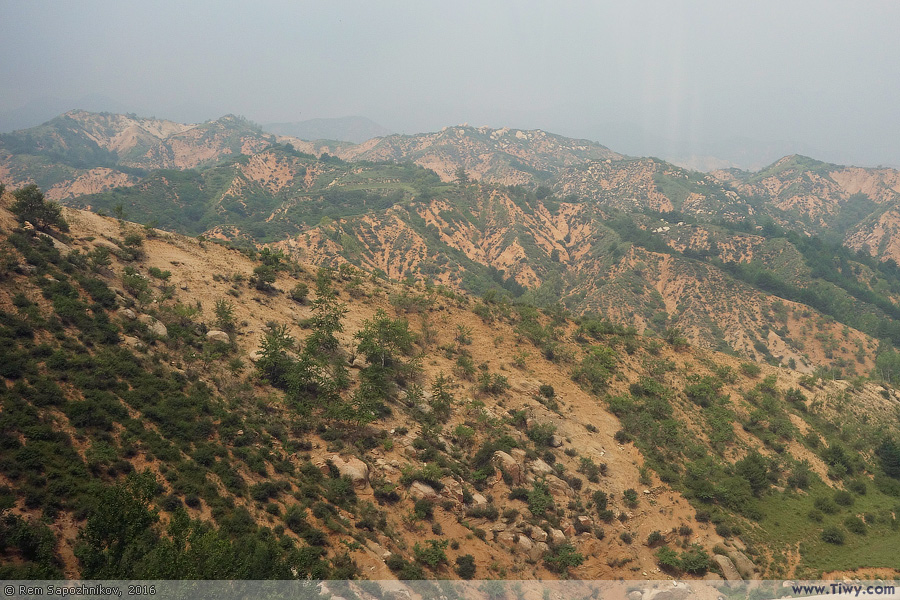
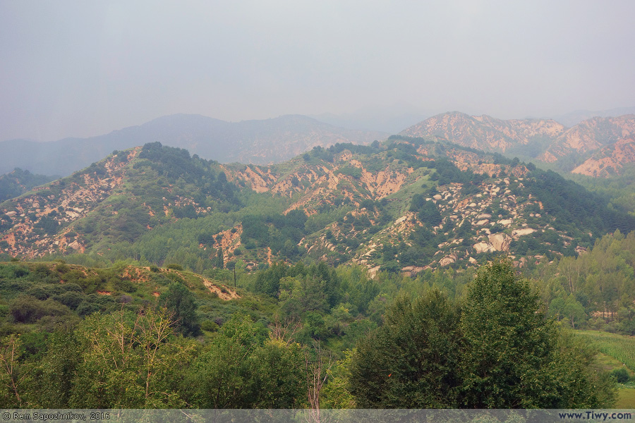
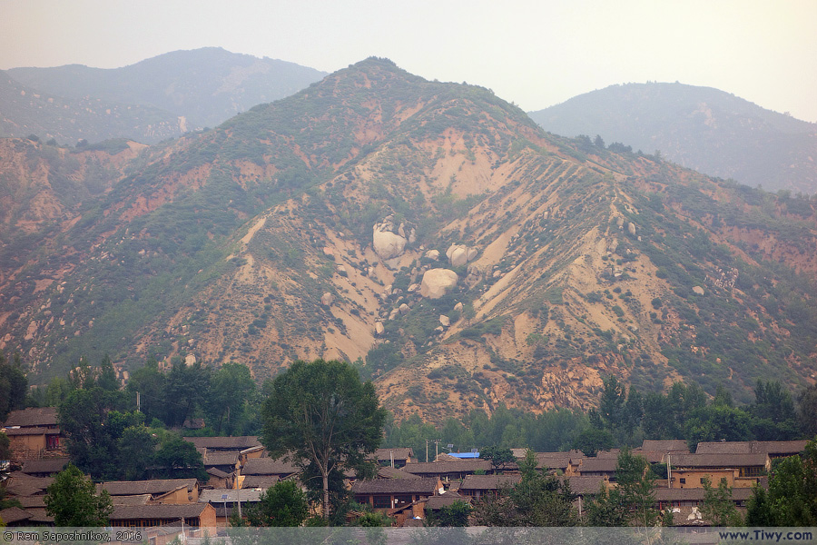
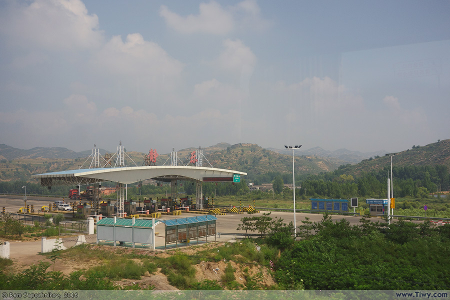
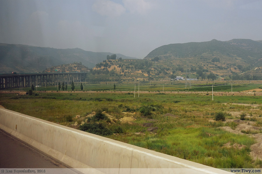
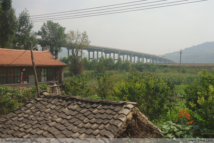
Xinbao highway (忻保高速 - Xīnbǎo gāosù) name came from the cities of Xinzhou (忻州 - Xīnzhōu) and Baode (保德 - Bǎodé), located on the border of Shanxi and Shaanxi provinces.

The length of the road is 191 km, opened to traffic on December 30, 2011.
After we pulled off the toll road, we had to drive another 28 km through rural area with many villages.
Russians can only envy to such roads in the province.
Fenhe River. Not far from its source.
Share
Copied!

Continuation :
Luyashan Mountain


* * *
Home / News · Countries · Links
1999-2024
Рейтинг@Mail.ru
Рейтинг@Mail.ru
Use of photos on the Internet is permitted only with the textual hyperlink to the site www.Tiwy.com
It's not necessary to inform the webmaster of this site about that.
Use of photos in printed editions or TV without the written permission of the author is prohibited.
You can print a copy for yourself, but not for further reproduction or sale.